Walking Routes
The routes on this page record key local walking routes, highlighting their attractions but also identifying improvements that will make using them safer and more pleasant to use. If you have a well-used walking route to contribute please contact us.

Walking along Vera’s Way to Beehive Centre shopping
Vera's Way is a popular walking route for shoppers from Sleaford Street into the Beehive Centre. It used to be a pedestrian path only but was turned into…

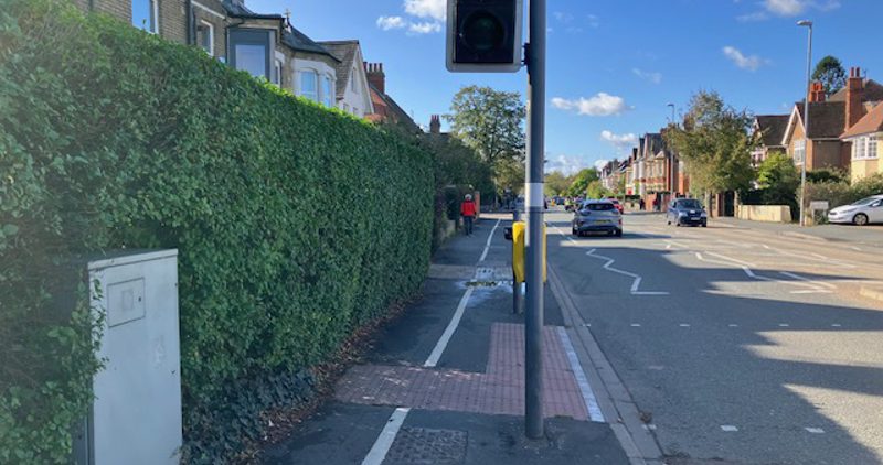
Walking on Cherry Hinton Road
Our residents' survey of walking highlighted flooding problems along Cherry Hinton Rd. We highlight these and call for action to improve walking infrastructure.
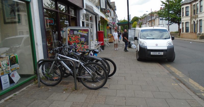
Walking Mill Road
Mill Rd is the focus of a vibrant community and a popular area of the city to visit. Our map highlights amenities but also flags improvement points.

Cambridge Rail Station to Abbey Football Stadium
Away fans use many routes to get to Abbey Stadium and are encouraged to use public transport. This map highlights a useful route from the central rail station.
Chesterton: walking to shops and river views
Many people walk from Chesterton to local shops, the river Cam or the city centre. The route needs some improvement to increase pedestrian safety.

Access to Wulfstan Way shops in Queen Edith’s Area
Wulfstan Way shopping centre is widely used by local people. Footways are safe and access to the shops is good.